
Advertisement
Postcode District: RM Romford
central coordinates: 51.550918744832,0.24876789990476
Map of the RM Romford Postcode Area
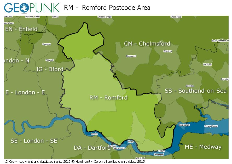
Local Authorities Within the RM Romford Postcode Area
Epping Forest DistrictDartford District (B)Redbridge London BoroBrentwood District (B)Havering London BoroBarking and Dagenham London BoroThurrock (B)Basildon District (B)Advertisement
Postcode Districts within the RM Postcode Area
RM1RM2RM3RM4RM5RM6RM7RM8RM9RM10RM11RM12RM13RM14RM15RM16RM17RM18RM19RM20Towns and Villages Within the RM Romford Postcode Area
DagenhamGraysHornchurchPurfleetRainhamRomfordSouth OckendonTilburyUpminsterAdvertisement