
Advertisement
Map of the Area
The area shaded blue on the map represents the extent of . The map pin represents the location of the council offices.
has a population of 0.
is within the ceremonial counties of Lanarkshire and City of Glasgow and Dunbartonshire and
click to enlarge
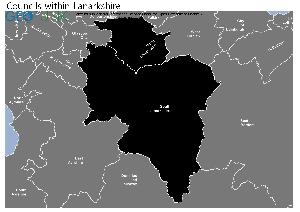
Download Print Quality PDF of Councils in Lanarkshire
click to enlarge
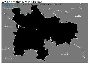
Download Print Quality PDF of Councils in City of Glasgow
click to enlarge
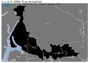
Download Print Quality PDF of Councils in Dunbartonshire
Councils Neighbouring

Contact Details
Details for
| Local Authority Name | |
| SNAC Code | |
| Postcode | |
| Latitude | |
| Longitude | |
| Country | |
| NHS Health Authority | |
| Parliamentary Constituency | |
| European Electoral Region | |
| Primary Care Trust | |
| Region | |
| Admin County | |
| ONS Code | S12000050 |