
Advertisement
Postcode District: WS Walsall
central coordinates: 52.692916016904,-1.9093237259708
Map of the WS Walsall Postcode Area
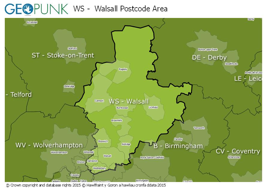
Local Authorities Within the WS Walsall Postcode Area
South Derbyshire DistrictSandwell District (B)Stafford District (B)Cannock Chase DistrictWalsall District (B)South Staffordshire DistrictLichfield DistrictBirmingham District (B)City of Wolverhampton District (B)East Staffordshire District (B)Tamworth District (B)Advertisement
Towns and Villages Within the WS Walsall Postcode Area
BurntwoodCannockLichfieldRugeleyWalsallWednesburyAdvertisement